HISTORY
Robbins, Dean

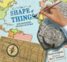
The Shape of Things: How Mapmakers Picture Our World

(4) 4-6 Illustrated by Matt Tavares. This picture book offers an introduction to the evolution of maps and mapmaking, from prehistoric cave markings to modern GPS. While it effectively conveys humanity's need to document geography, details are more limited regarding ancient cultures and cartography techniques. Though informative, the book serves as a rather broad overview, ideal for casual exploration. The realistic illustrations capture the human element and historical eras. Back matter includes author and illustrator notes, additional details, and a bibliography.

RELATED 

Get connected. Join our global community of more than 200,000 librarians and educators.

This coverage is free for all visitors. Your support makes this possible.

We are currently offering this content for free. Sign up now to activate your personal profile, where you can save articles for future viewing.

ALREADY A SUBSCRIBER?